The objective of the visit was to carry out field verification for geomorphological mapping in the Periyar River Basin. This step was essential to validate the interpretations made during the remote sensing-based geomorphological analysis of the Periyar River Basin.
As part of the Geomorphological Mapping, the team also conducted grain size distribution studies. For this purpose, sediment samples were collected from multiple locations in the upstream region of the Periyar River Basin. These samples were later analysed in the Central Laboratory Facilities at IIT Palakkad. The sampling locations were Karimban bridge, Panamkutty bridge, Chinnar bridge, Moolakadai bridge, and Periyavarai bridge, in the Idukki district.
Recent posts
-
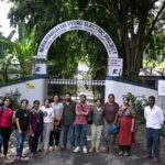
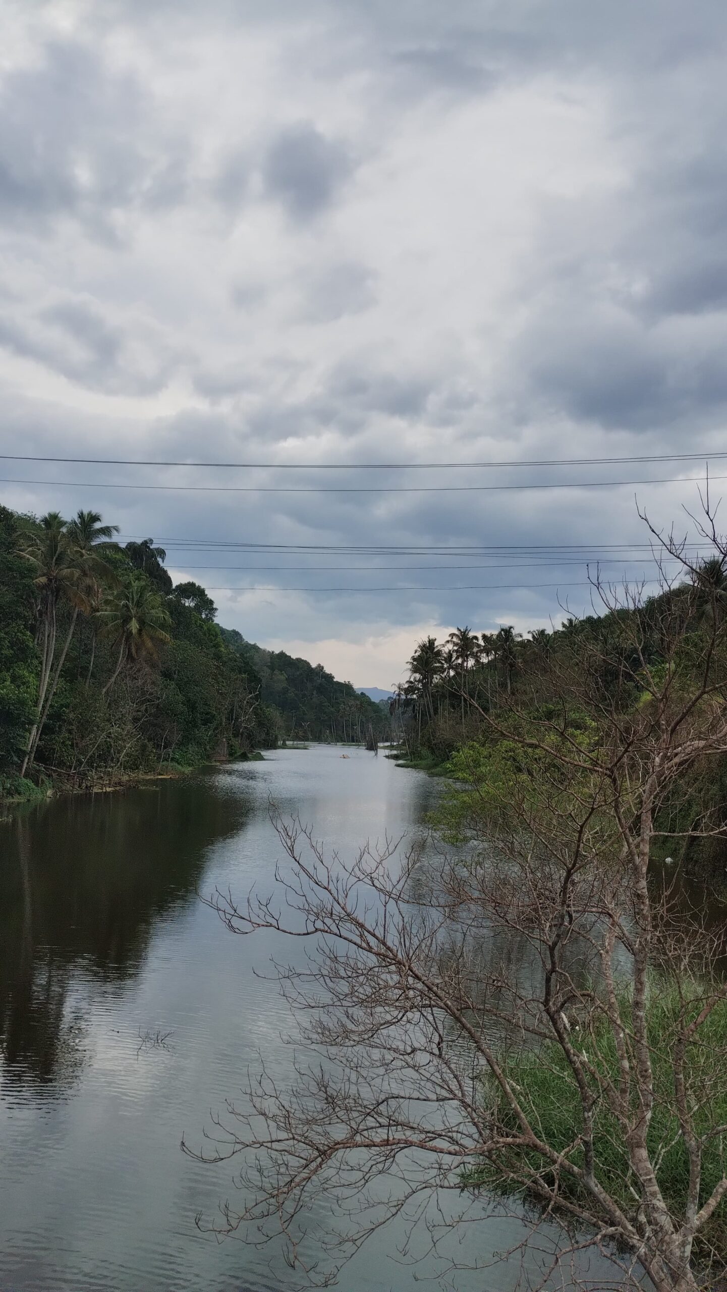
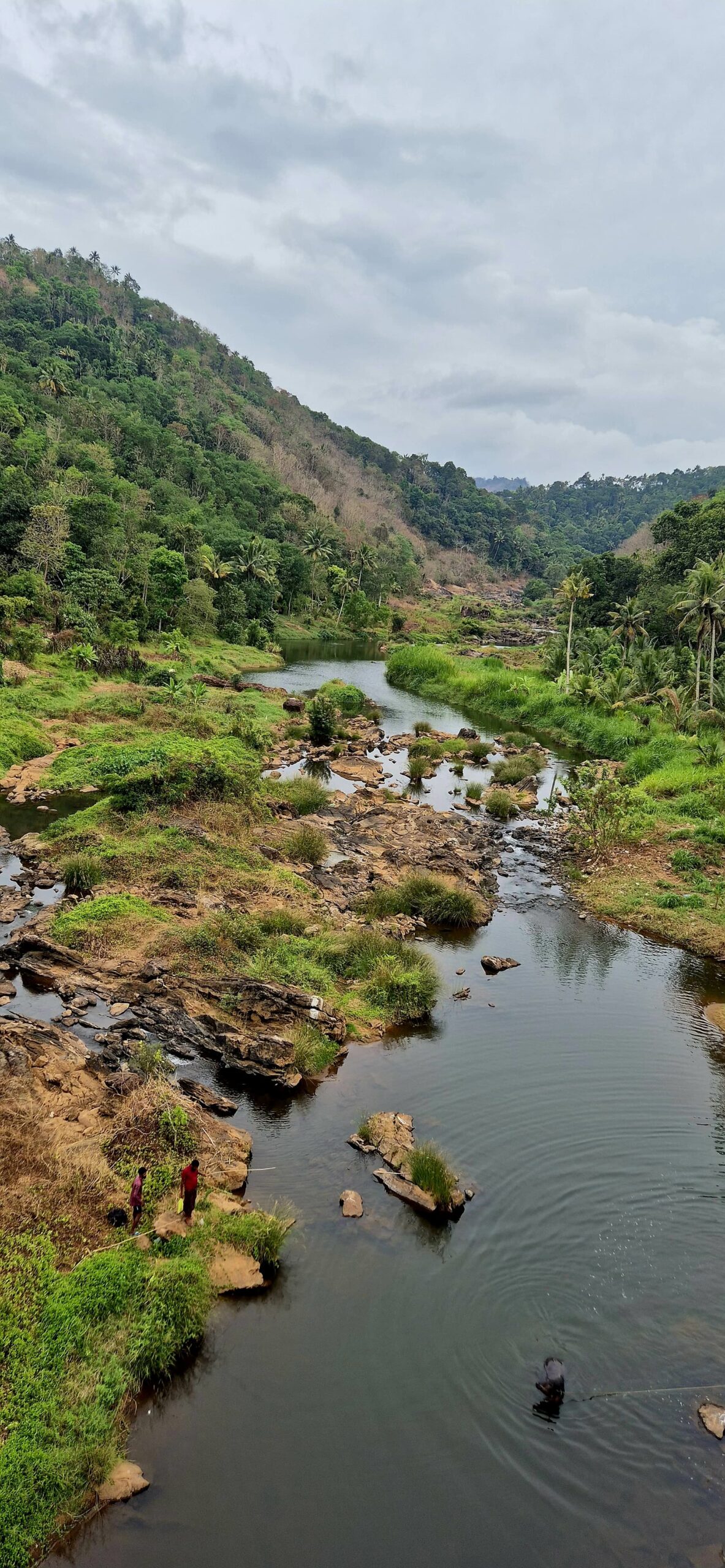
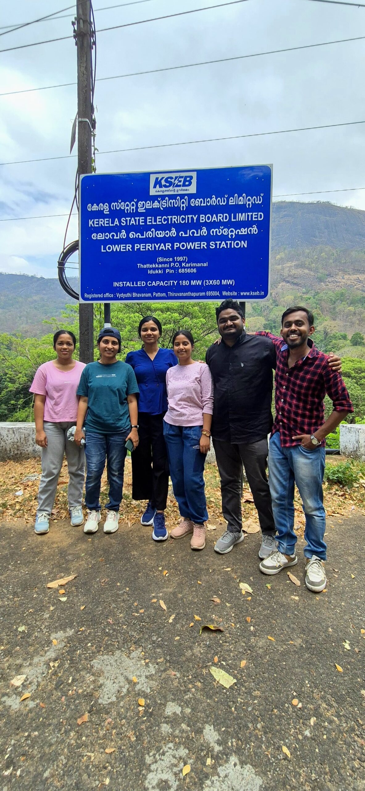
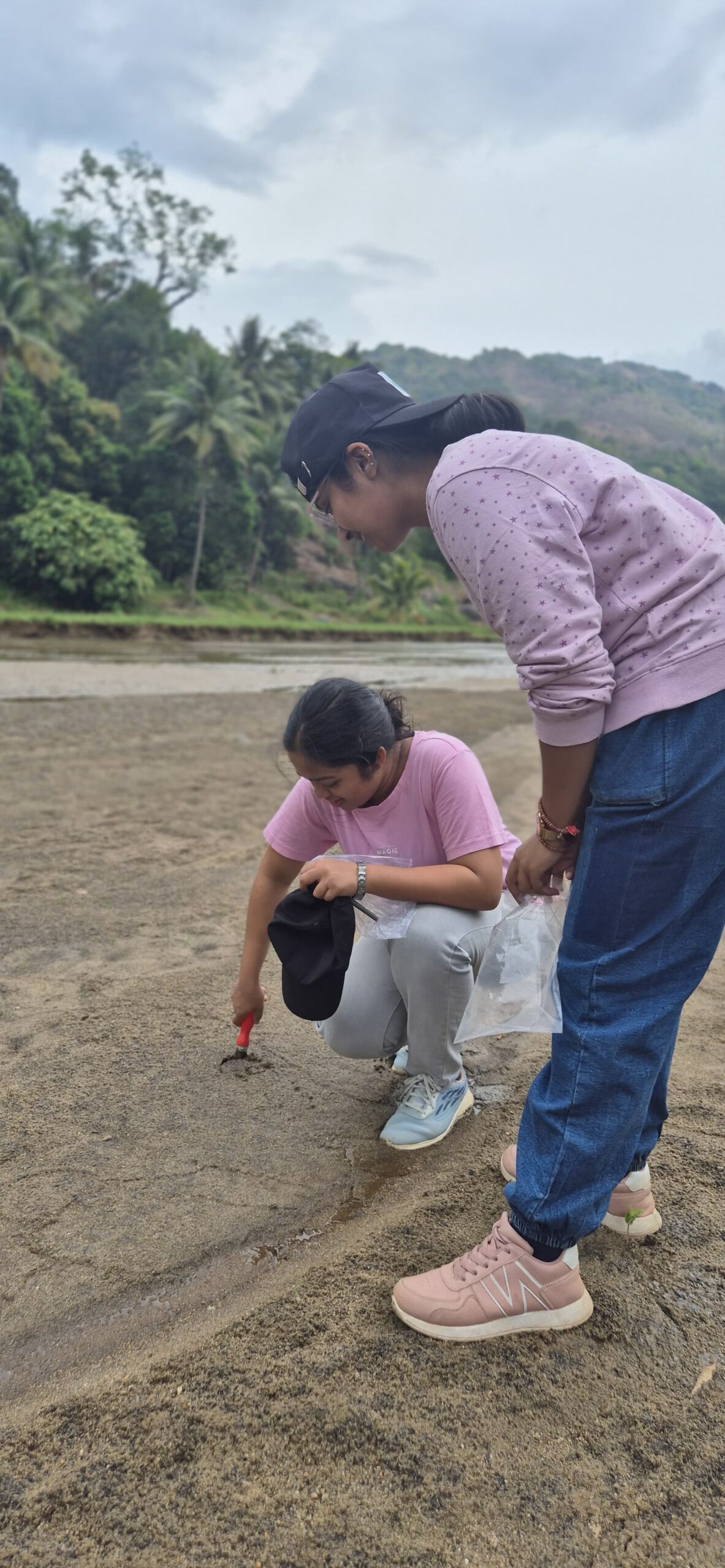
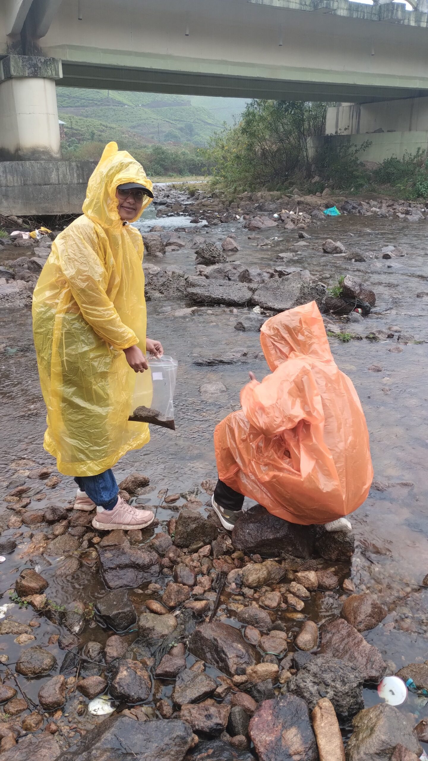
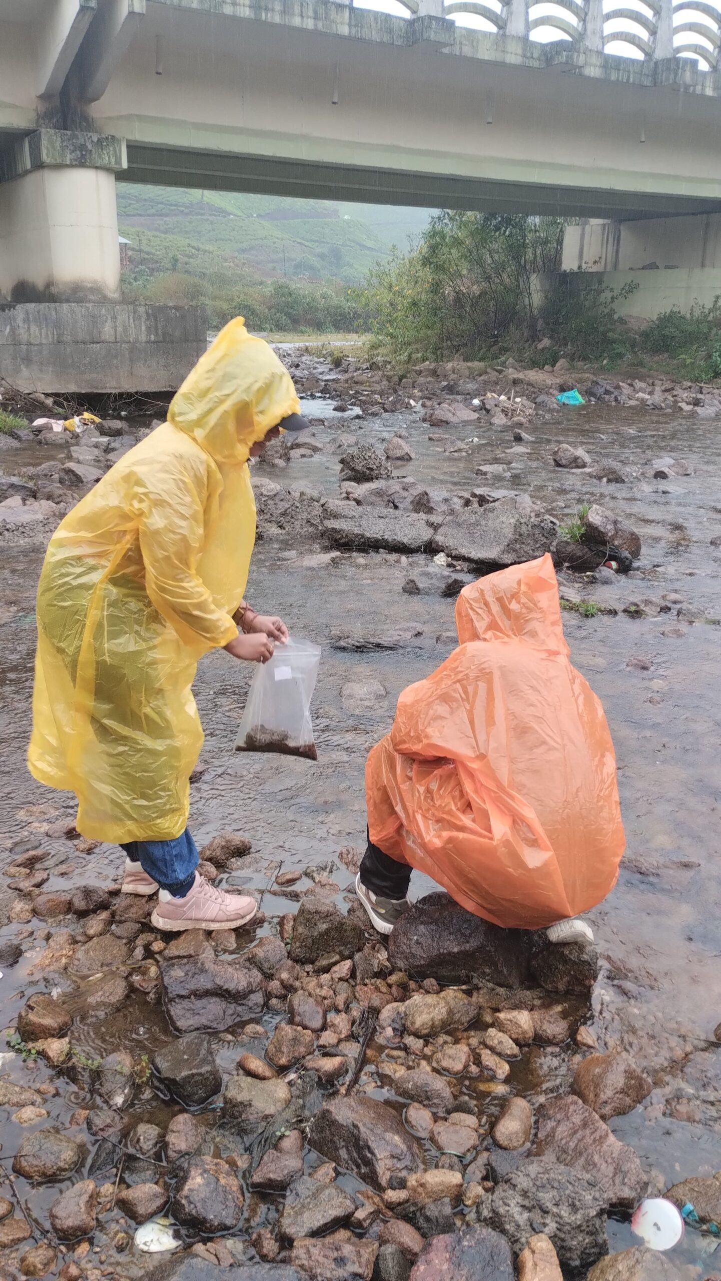
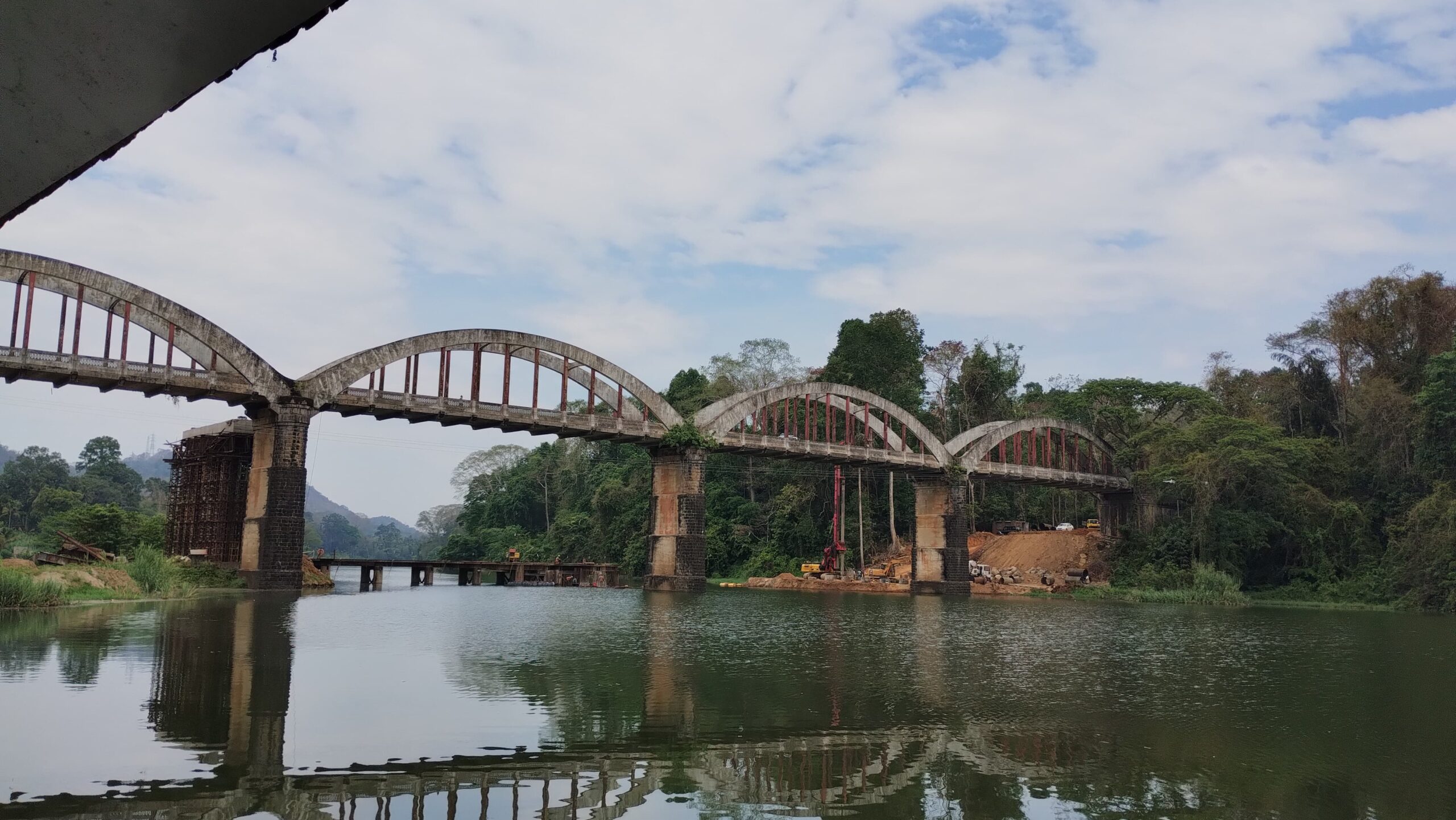
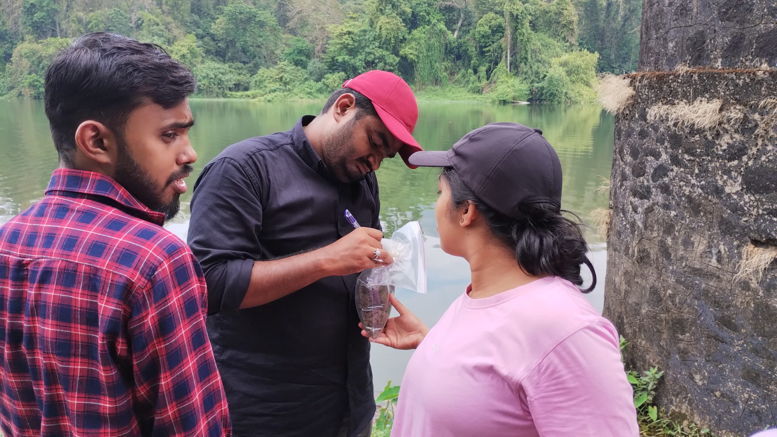
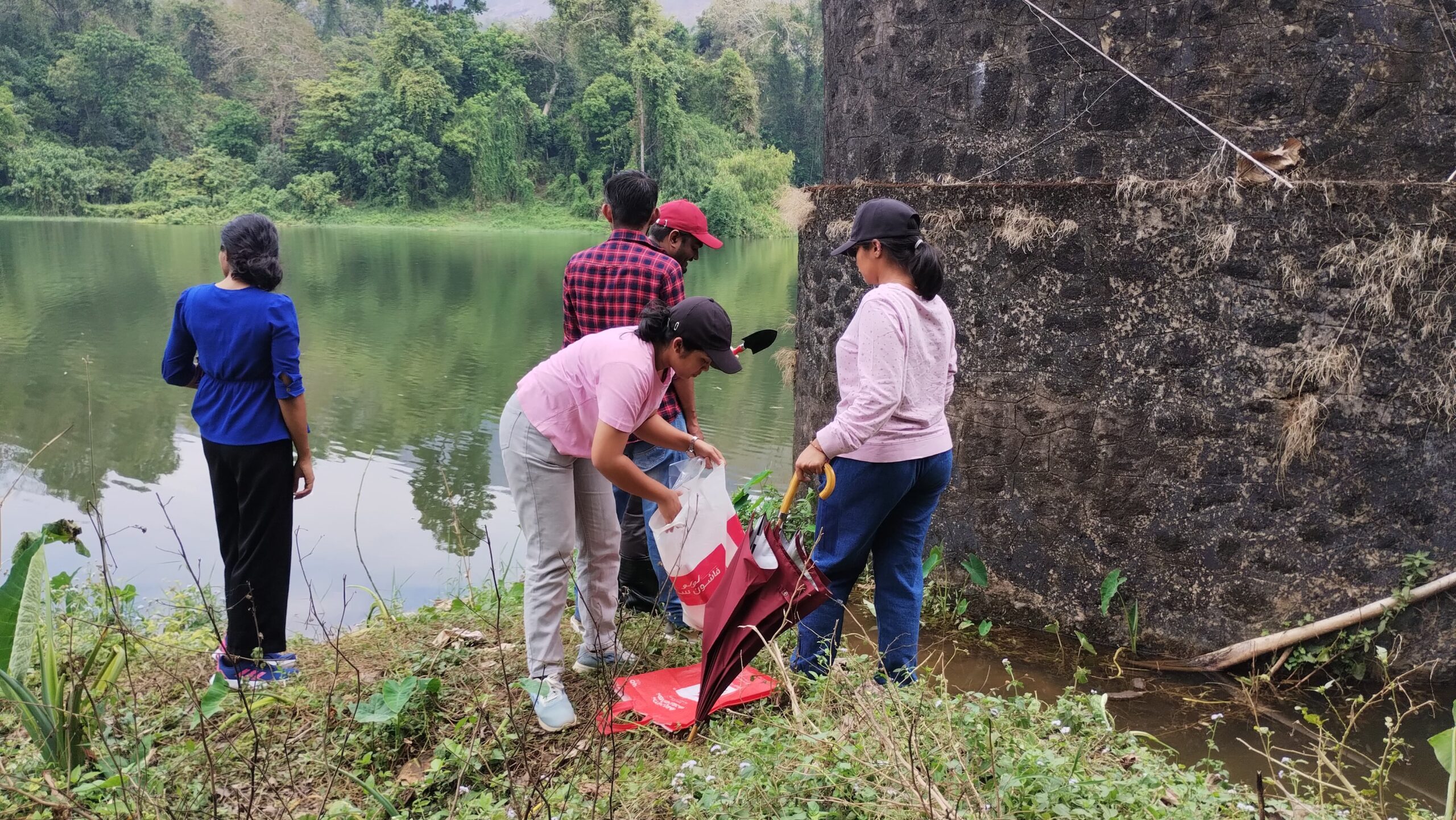
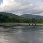
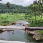
River Walk from 22 May to 24 May, 2025
-
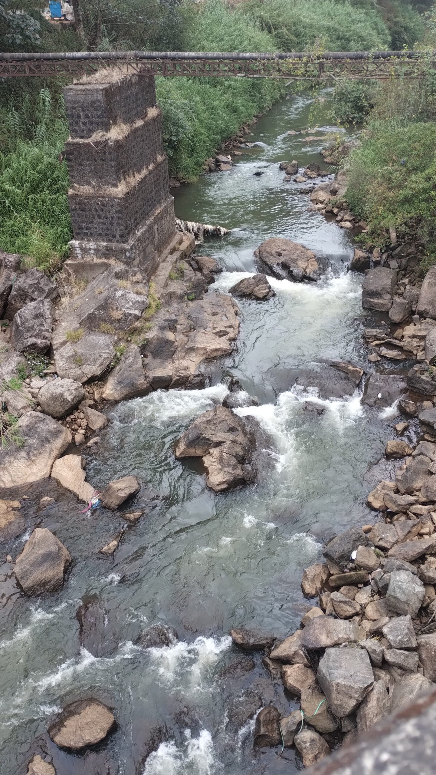
Field Visit Conducted on 20/05/2025
-
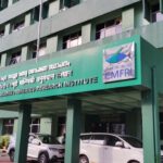
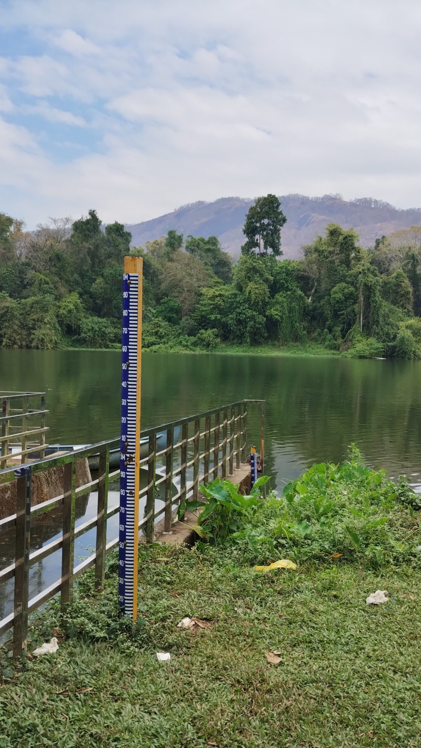
Ernakulam Field Visit on 07 May & 08 May, 2025
-
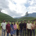
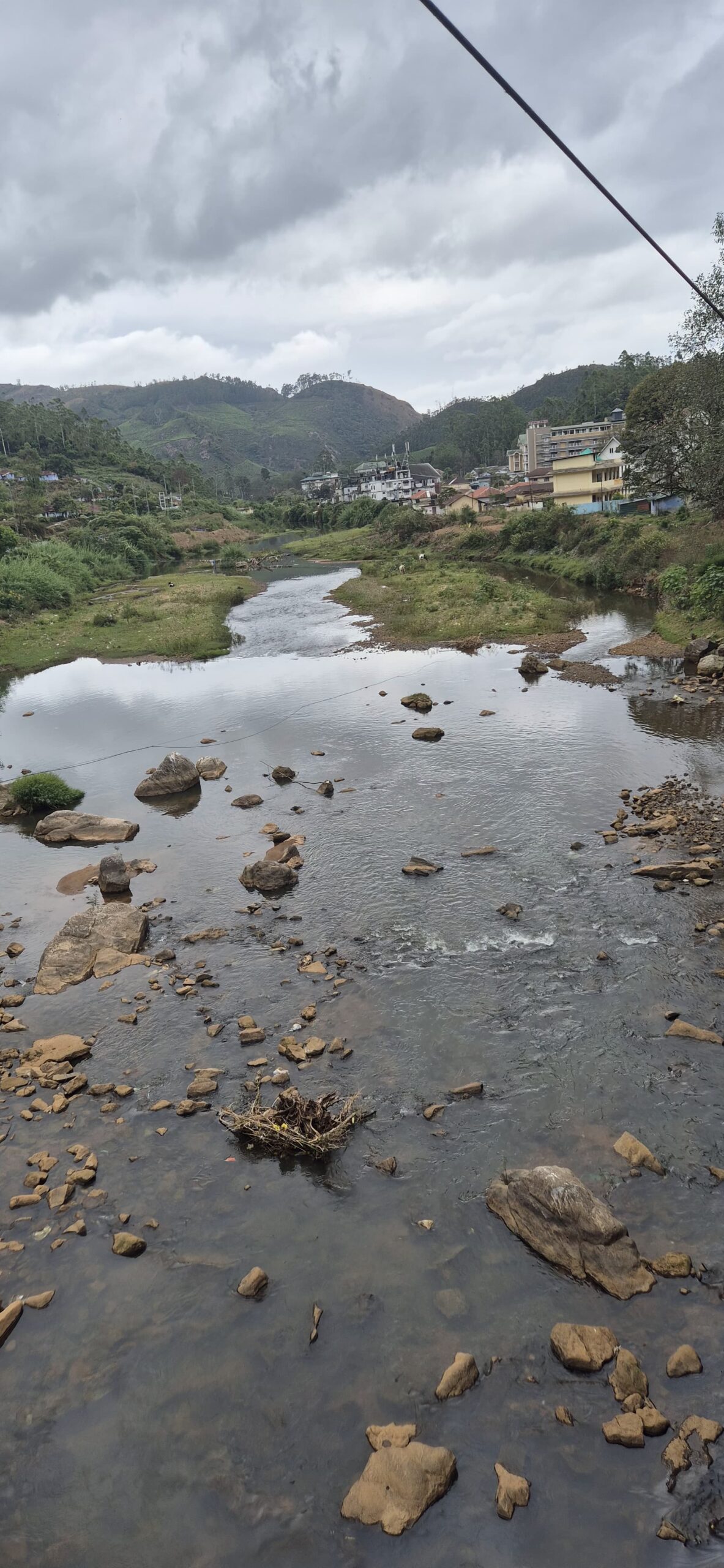
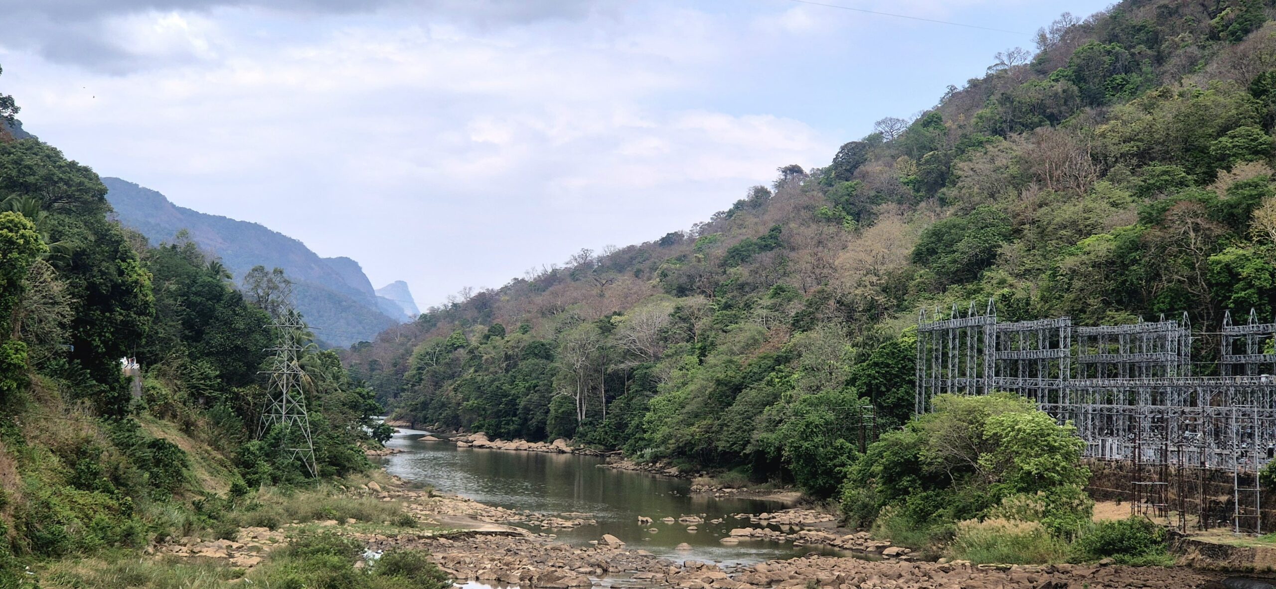
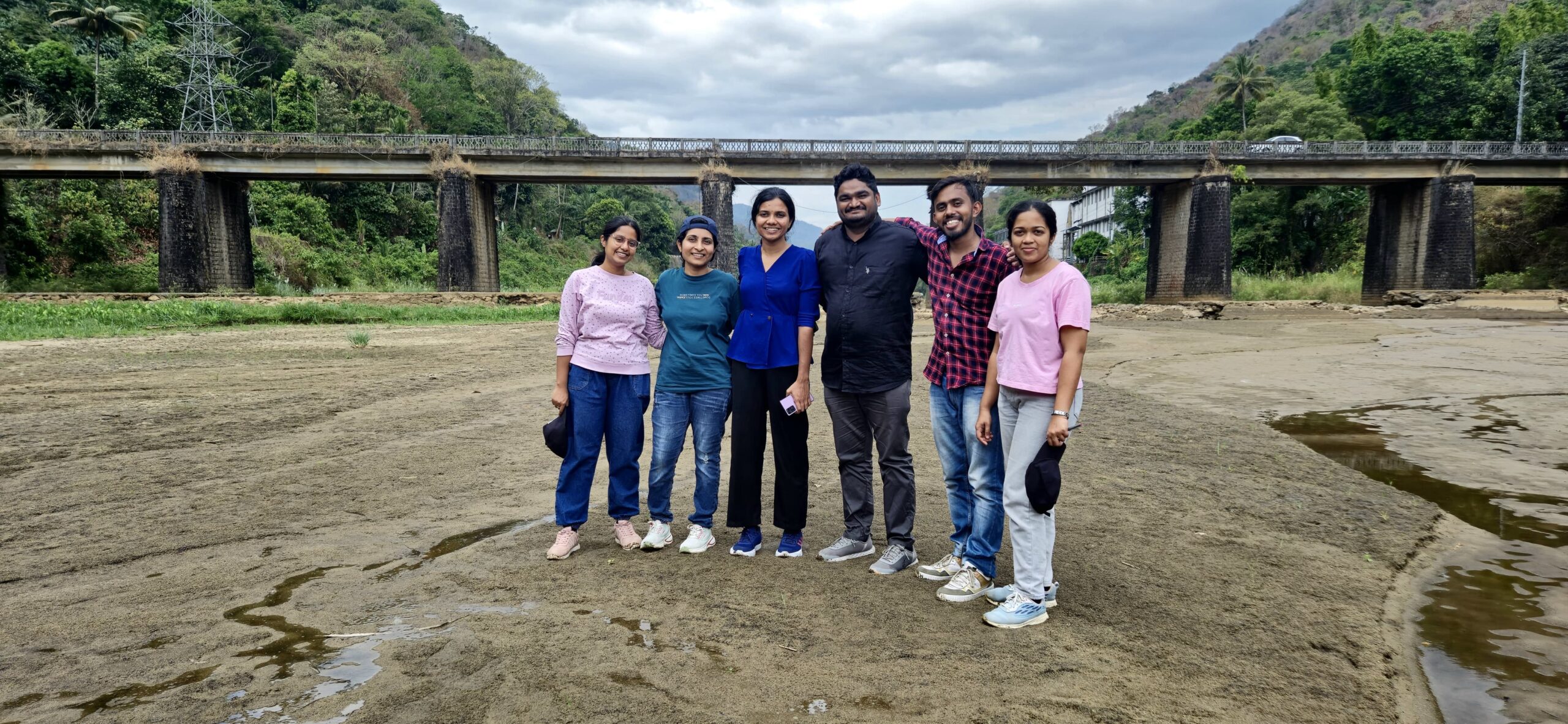
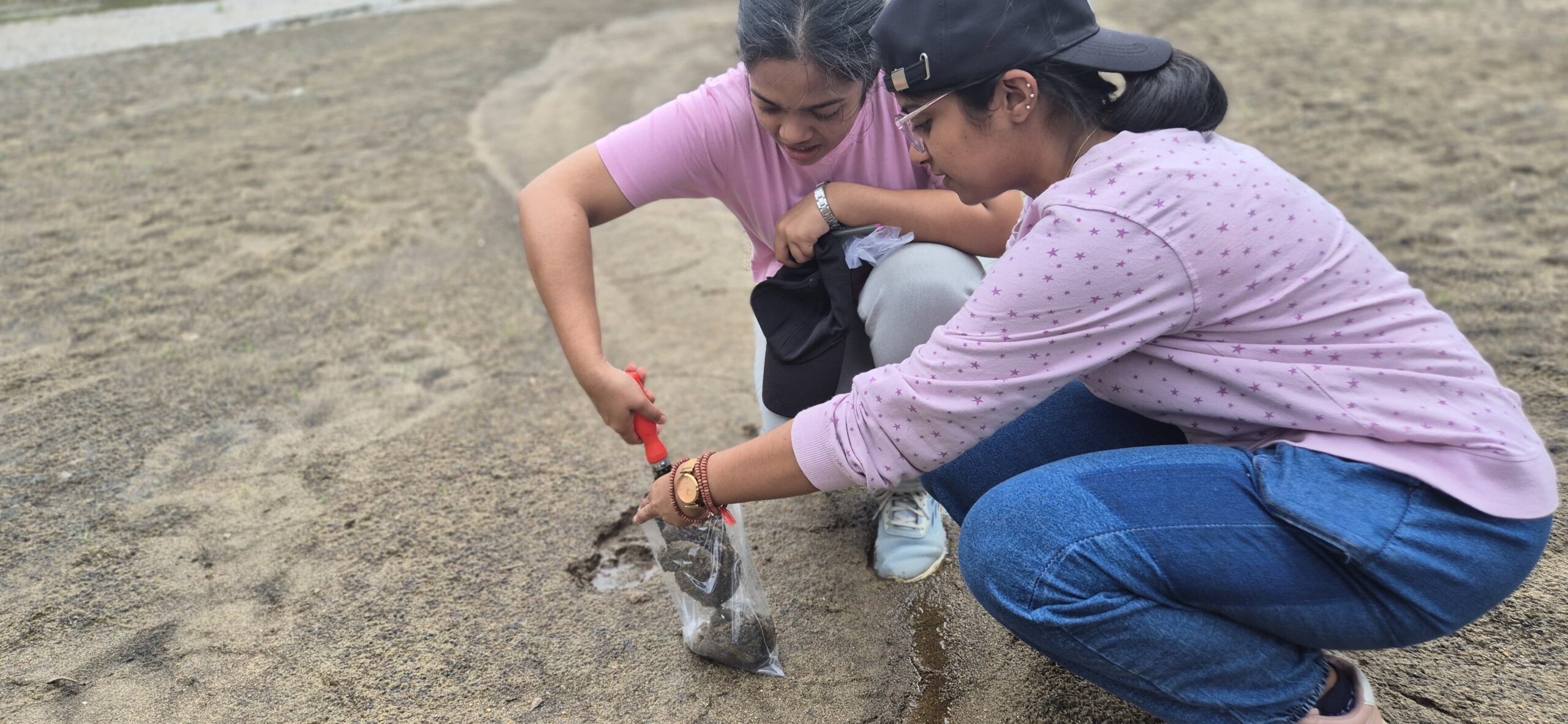
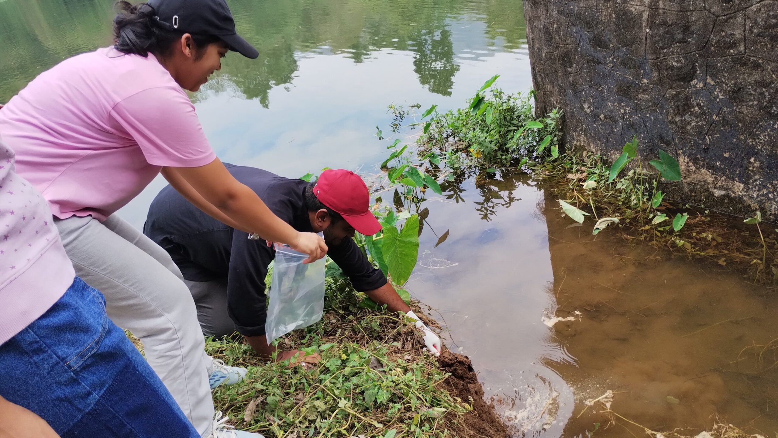
Field Visit Conducted on 21/03/2025
-
എൻ.ഐ.ടി.സി.യും ഐ.ഐ.ടി. പാലക്കാടും കേന്ദ്രങ്ങൾ രൂപവത്കരിക്കും
-
പെരിയാർ നദി സംരക്ഷണം: എൻഐടി-ഐഐടി പദ്ധതി
-
NITC Field 2024
-
IIT PKD Field Visit July 2024
-
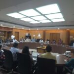
1st JRC Meeting at NIT Calicut 15-05-2024